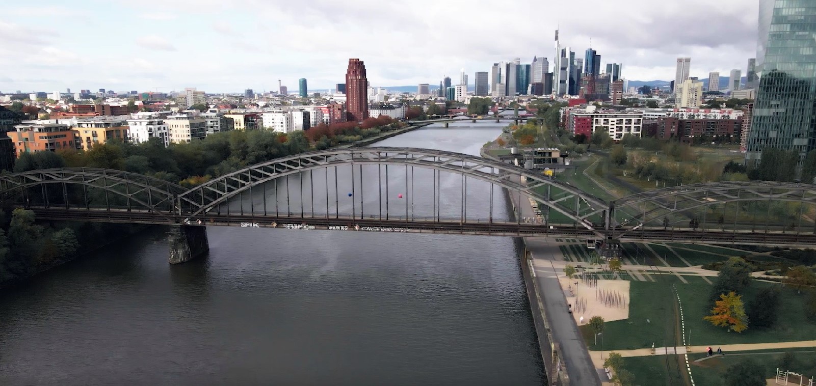
Aerial view of the Deutschherrnbridge
One tool for many users
Prior to the start of construction, properties should be monitored by measurement over a longer period of time in order to have a better basis for decision-making for construction planning in the building condition and the maintenance management of existing buildings.
During construction, live data and alarms are required to ensure the safety of everyone involved. If the limit values are exceeded, relevant parties must be notified by an alarm system. At the same time, it must be possible to immediately monitor the impact of construction on the property. After execution, the observations are available as proof of successful execution. The sensor system thus supports the recording of the actual status at the time of commissioning.
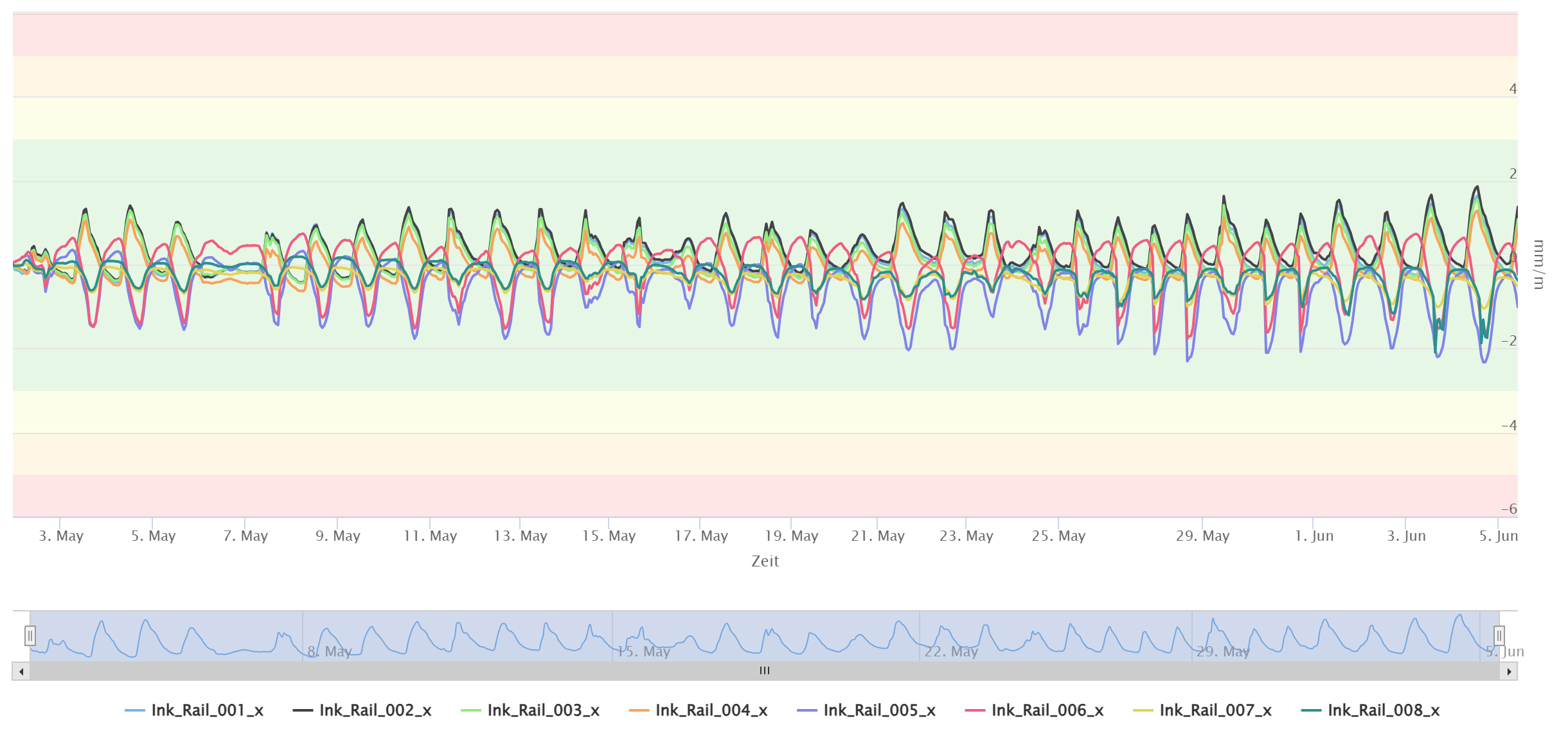
Measurement range of track inclinometer
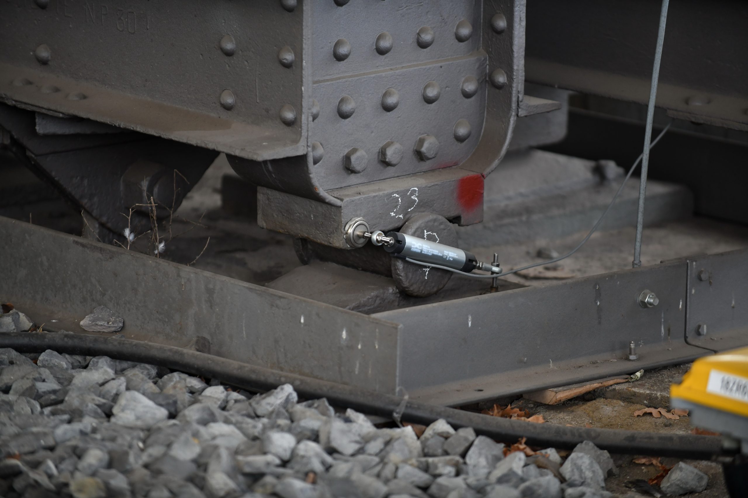
Sensors at the structure