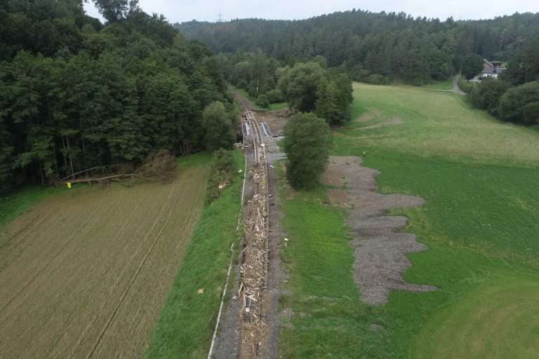
Deutsche Bahn has a highly complex infrastructure system that has grown over 180 years. Despite the great care taken with as-built documentation, there are always delays in the planning or implementation of construction projects.
One reason for this is the lack of data stock in the early stages of a rail infrastructure project. Even traditional terrestrial surveying or selective geotechnical investigations cannot completely close these gaps. To obtain the missing information, extensive and complicated data acquisition is necessary on the track itself, which can have a negative impact on all rail operations.
Cooperation is expanded
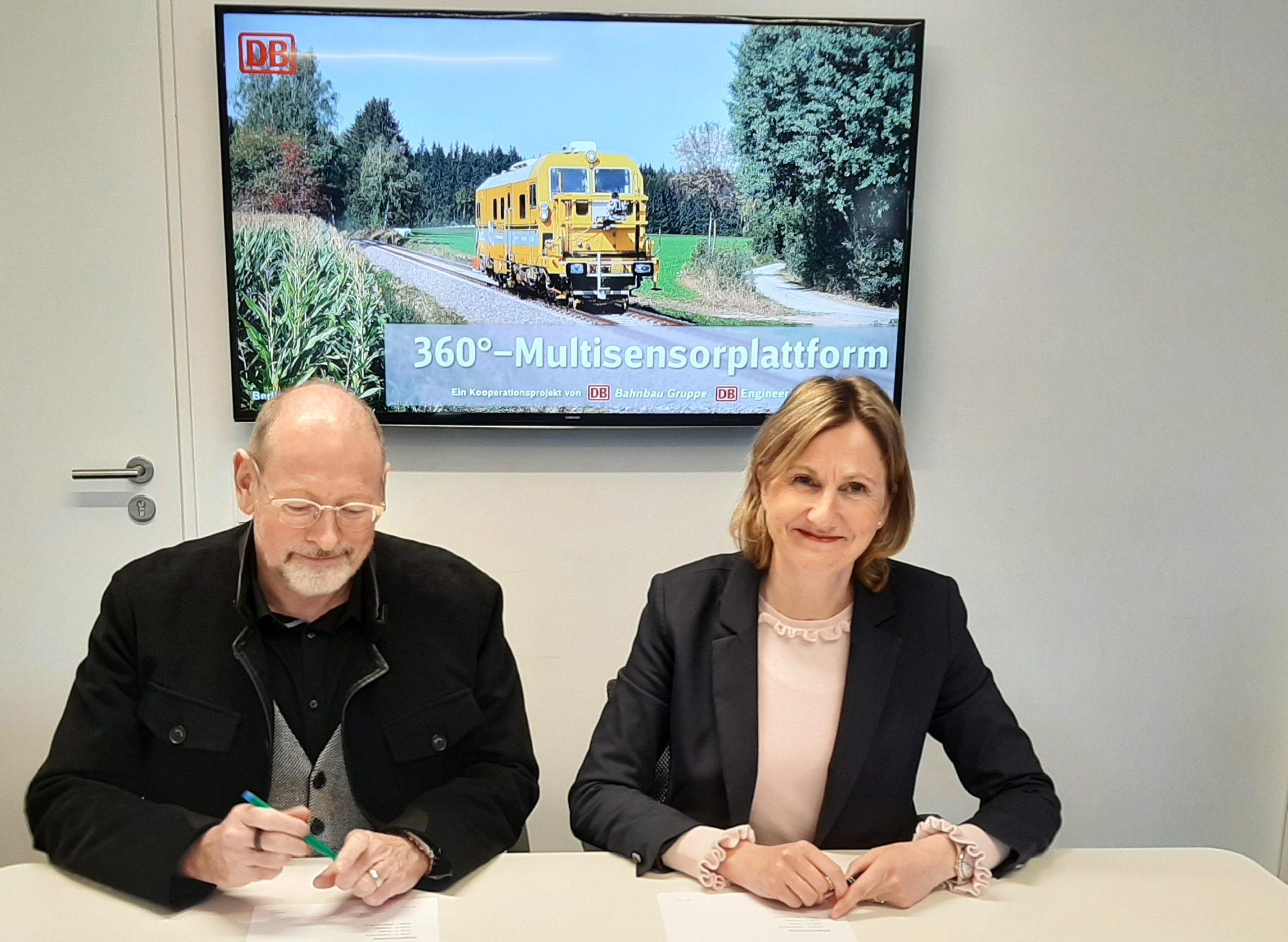
DB Bahnbau Group and DB Engineering & Consulting (DB E&C) have developed a complementary technical solution for data acquisition in the 360° multisensor platform. The 360° multisensor platform is a train borne, modular system for overground and underground capture of rail infrastructure. To reflect the importance of this component of holistic project preparation, both companies are expanding their capacities in this field and signed a cooperation agreement on March 2, 2023. The two companies are working even more closely together in the areas of sales, order processing and advanced product development.
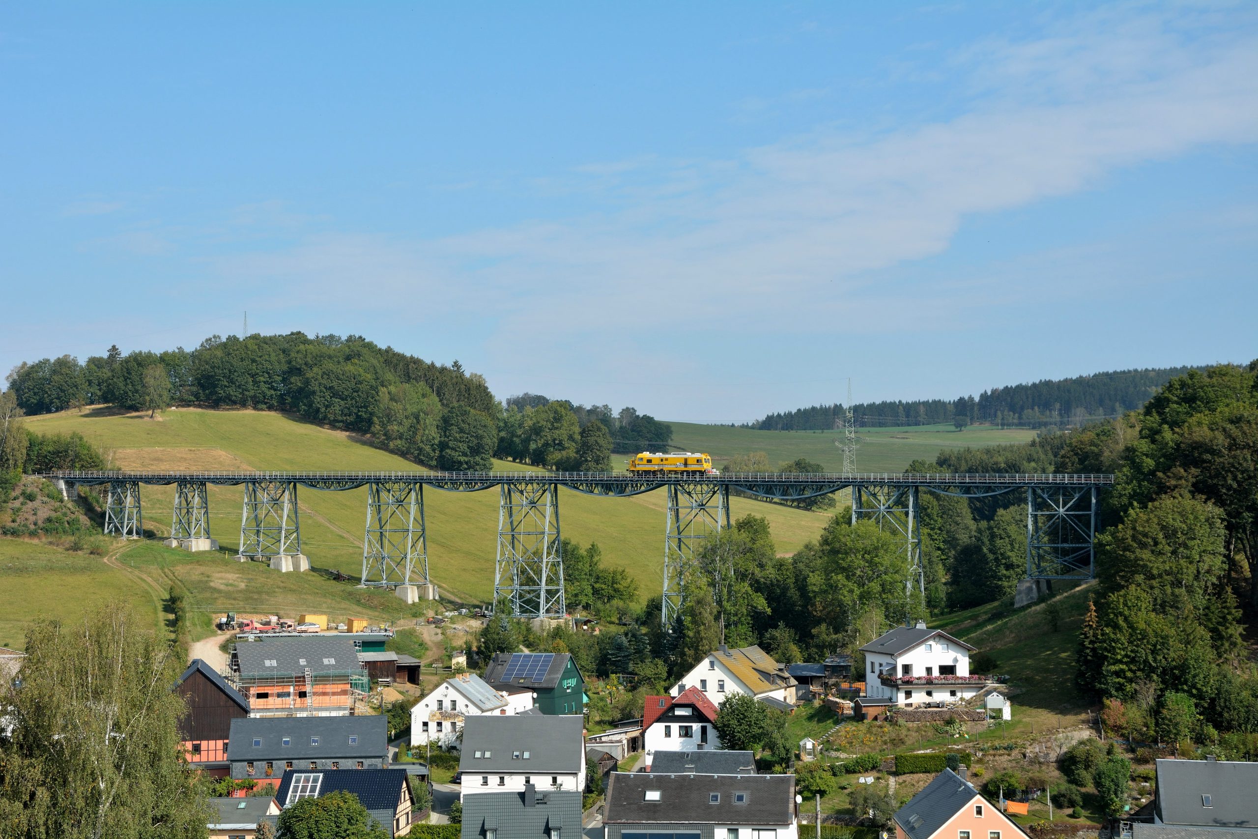
Tailored to the needs of each customer, various sensors (GNSS, camera systems, laser scanners, georadar) can be used and combined, resulting in three-dimensional mapping of the infrastructure – 360° vertically and horizontally around the sensor system. Data acquisition is carried out in a single operation without any lasting disruption to rail operations. The trains travel along the tracks at up to 80 km/h. Irregularities in the subsoil or cable and line crossings in the ground are identified and, if necessary, can be investigated in more detail. The overground infrastructure is captured using panoramic images and point clouds. By processing the data and using it in the engineering procedure, a comprehensive image of the as-built status is created, and existing information is completed. In total, more than 1,500 km of Deutsche Bahn’s rail network have now been captured using the 360° multisensor platform.
Developed for a wide range of purposes
The main applications include design work and construction projects, such as the electrification and upgrading of lines or ETCS upgrades. The data is also very valuable in the operation and maintenance of routes, e.g. for updating information on the as-built status.
The data obtained later serves as the basis for design, which is often carried out using the BIM method. The mobile survey data can be supplemented with aerial survey data and stationary scans in specific areas and at specific locations to provide a full representation of the planning corridor and to meet strict accuracy requirements in critical areas.
The data is used for virtual on-foot line inspection as well as for measurements, geotagging and quantity take-offs in the existing infrastructure but also for preparing digital route models, creating high-resolution maps for fully automated rail operations and performing target/actual comparisons or updating drawings of existing infrastructure.