Northern Brenner Feeder Line – a BIM project
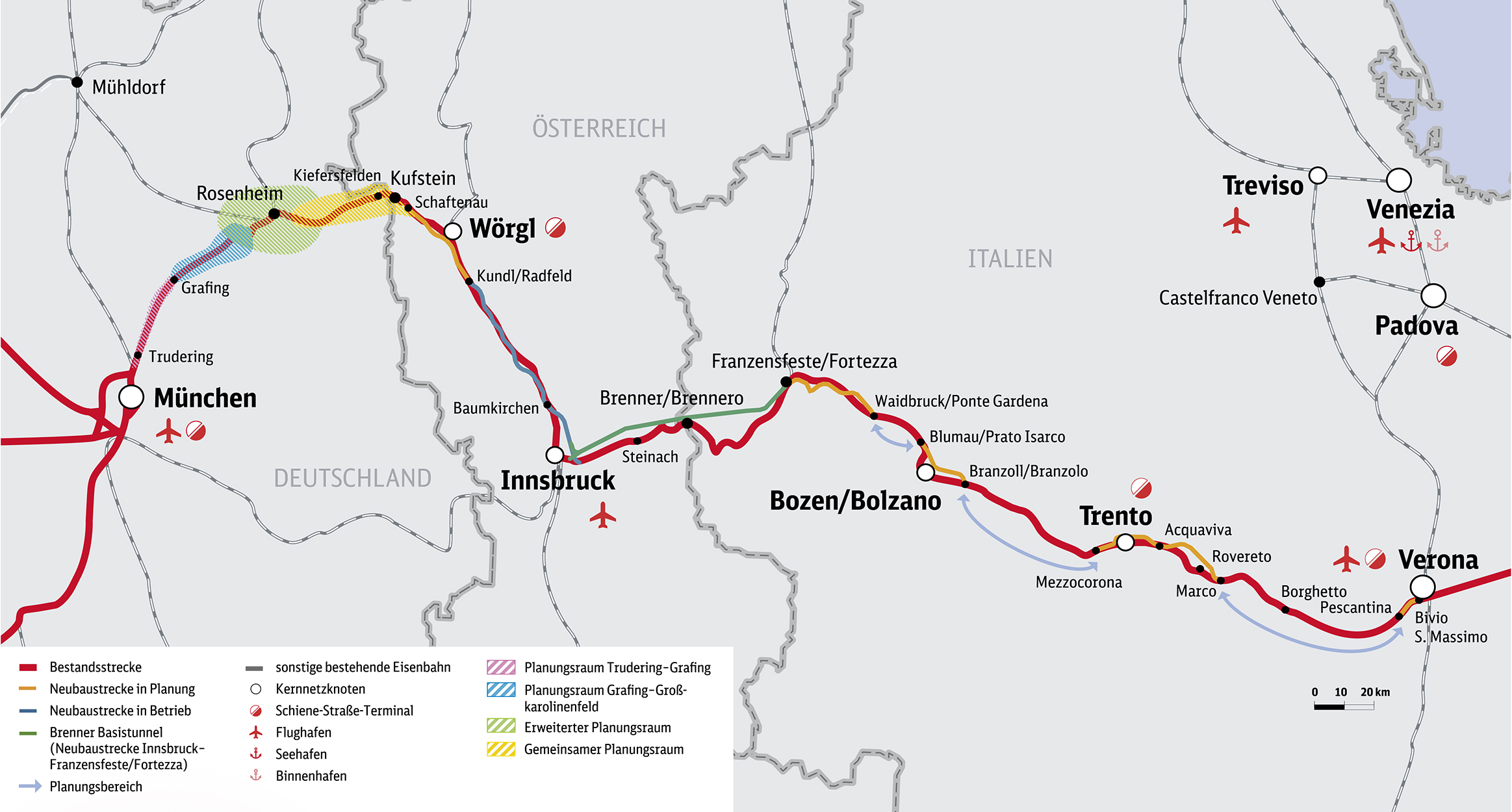
The upgrade of the Brenner railroad corridor between Munich and Verona is of central importance to the decarbonization of transport in transalpine freight transport. A strong increase in rail freight transport is expected as a result of the opening of the Brenner Base Tunnel.
The significance of this development becomes clear when you look at the highways in the Inn Valley. Kilometers of traffic jams are the usual picture. 2.8 million truck transits rolled over the Brenner Highway in 2019. Driving one behind the other, that is a line that stretches more than once around the equator. And the amount of traffic is growing constantly.
A four-track upgrade from Munich to Verona has been agreed between international partners. The line speed is to be 230 km/h. The elimination of steep gradients is of enormous importance to rail freight transport as it makes the railroad more economical and thus more competitive compared to the road.
The “zero-grade route” promises longer trains that can now run with just one locomotive instead of up to three.
The upgrade of the Brenner corridor is one of the EU’s top 3 projects. The upgrade will be carried out in sections. Three countries are involved. The Northern Brenner Feeder Line is the northernmost section.
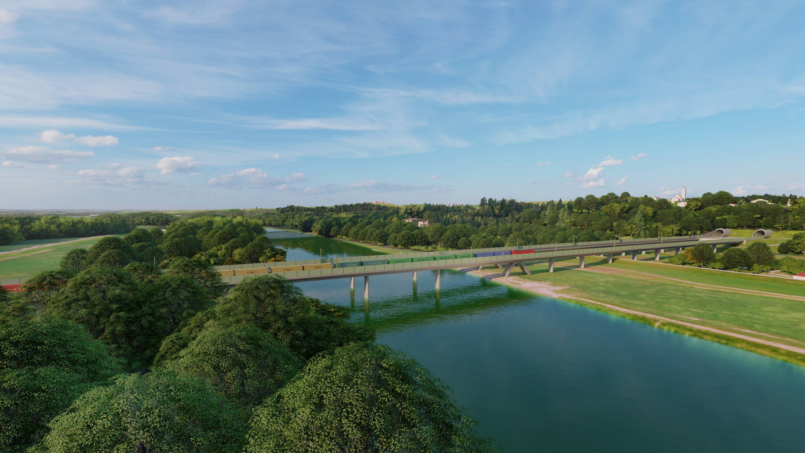
The services ordered from DB E&C for project design and supporting structure planning in structural engineering for the approx. 9 km long section from Ostermünchen to Mintsberg are being planned entirely using the Building Information Modeling (BIM) method. Furthermore, DB E&C is providing the overall BIM coordinator and is responsible for project management and sub-project management for transport facilities within the engineering consortium.
The project design and supporting structure planning for a large number of structures (overpasses, railroad overpasses, trough structures, retaining structures, drainage channels) will be carried out taking the following boundary conditions for planning into account: Foundation options, type of crossing, third party requirements, structure dimensions, requirement for temporary and permanent relocations and possible structure types as a whole as a basis for the client’s selection from the various options. Supporting structure planning as verification of static and dynamic serviceability.
Project information
- Length of the project section: approx. 14 km
- 2-track new-build, electrified
- Overpasses
- Railroad overpasses
- Trough structures
- Retaining structures
- Drainage channels
- Grade separation structures
- Groundwater tank
- Preparation of a maintenance concept for all structures
- Preparation of the BIM as-built model
- Preparation of construction schedule and phase planning
- Preparation of space requirement concept
- Determination of temporary and permanent land acquisition and space needed
- Determination of areas for construction equipment
- Preparation of a concept for construction roads, storage areas and logistics
- Preparation of the cost estimate and financial accounting for rail infrastructure assets
- Preparation of a high-level construction and demolition waste usage and disposal plan
- Scheduling according to Last Planner methodology
Services
- Project design for engineering structures
- Supporting structure planning and engineering structures
